Computer Data Systems
Maps and GIS Information
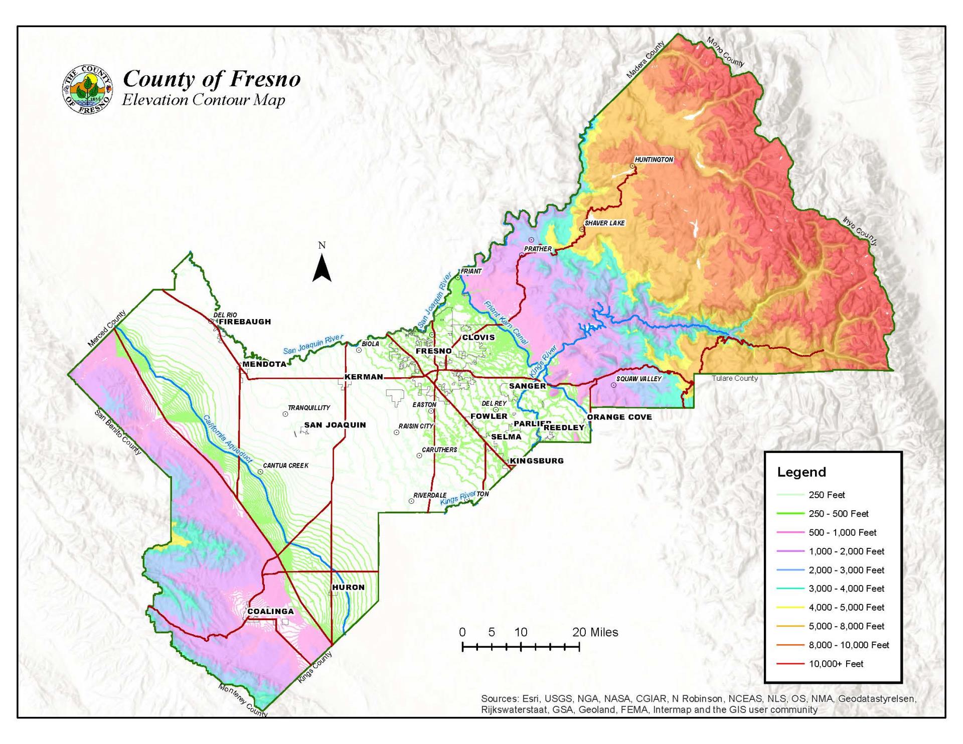
The County of Fresno makes Geographic Information System or GIS data available to the public in the form of maps, reports, and charts. The type of data available includes parcel numbers, street addresses, zoning of parcels, and flood zones. Additional types of information are also available on request.
Through this service, you will be able to find government information based on geographic location. Specific information available includes addresses, city limit, parcels, streets, and zoning.
GIS Online | Download Shapefiles
Please reach out to the Assessor's office for parcel ownership information.
Note: We are unable to provide ownership information on the internet pursuant to CA.GC6254.21
Related GIS Links
Interactive Road Closure Map | City of Fresno Interactive Maps
City of Clovis Maps | ESRI | CGIA
About CDS
Computer Data Systems division provides technical support for all systems in the department of Public Works and Planning. This division along with County Internal Services Department is responsible for the implementation of upgrades and maintenance of the Geographical Information System otherwise known as GIS.